Chapter 1.0
Introduction
Background about wetlands and a summary of contents in this report

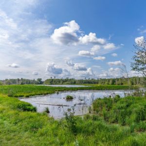
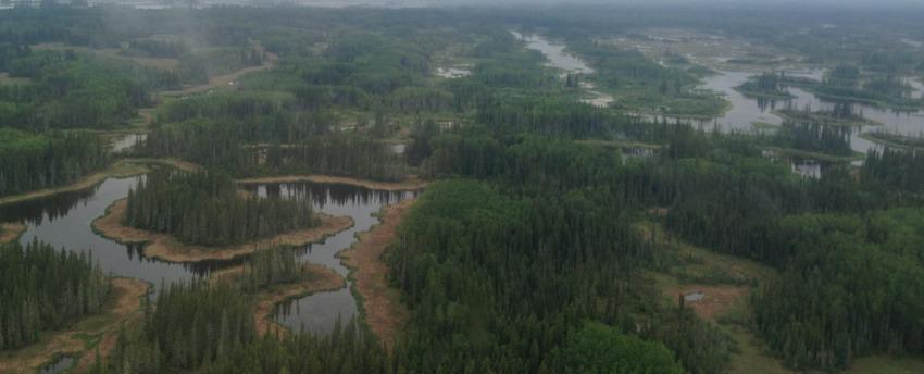
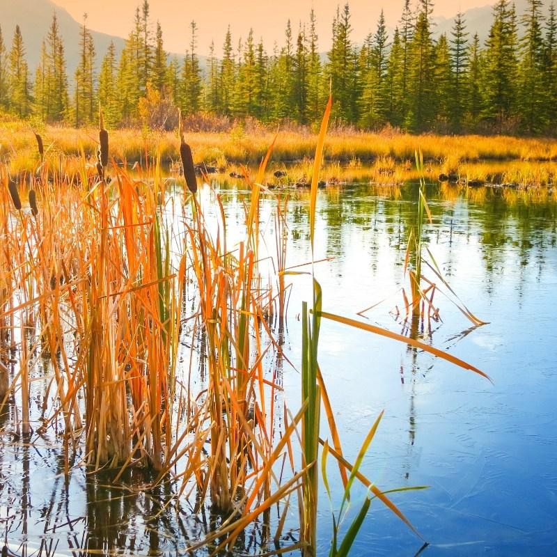
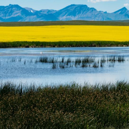
Wetland ecosystems cover more than 20 percent of Alberta and are a critical element of Alberta's diverse landscape.
- Wetlands are defined by their hydrology (periodic saturation or standing water); their physicochemical environment (e.g., anaerobic soil, chemistry); and their biota (aquatic plants, animals, and microbes).
- These components interact in a multitude of ways, creating biodiverse habitats for a wide variety of flora and fauna, and providing multiple ecosystem functions that benefit humans.
- Impacts to wetlands from humans take a variety of forms and can be direct or initiated elsewhere in the catchment area. Therefore, a watershed-scale approach is necessary for wetland management and protection.
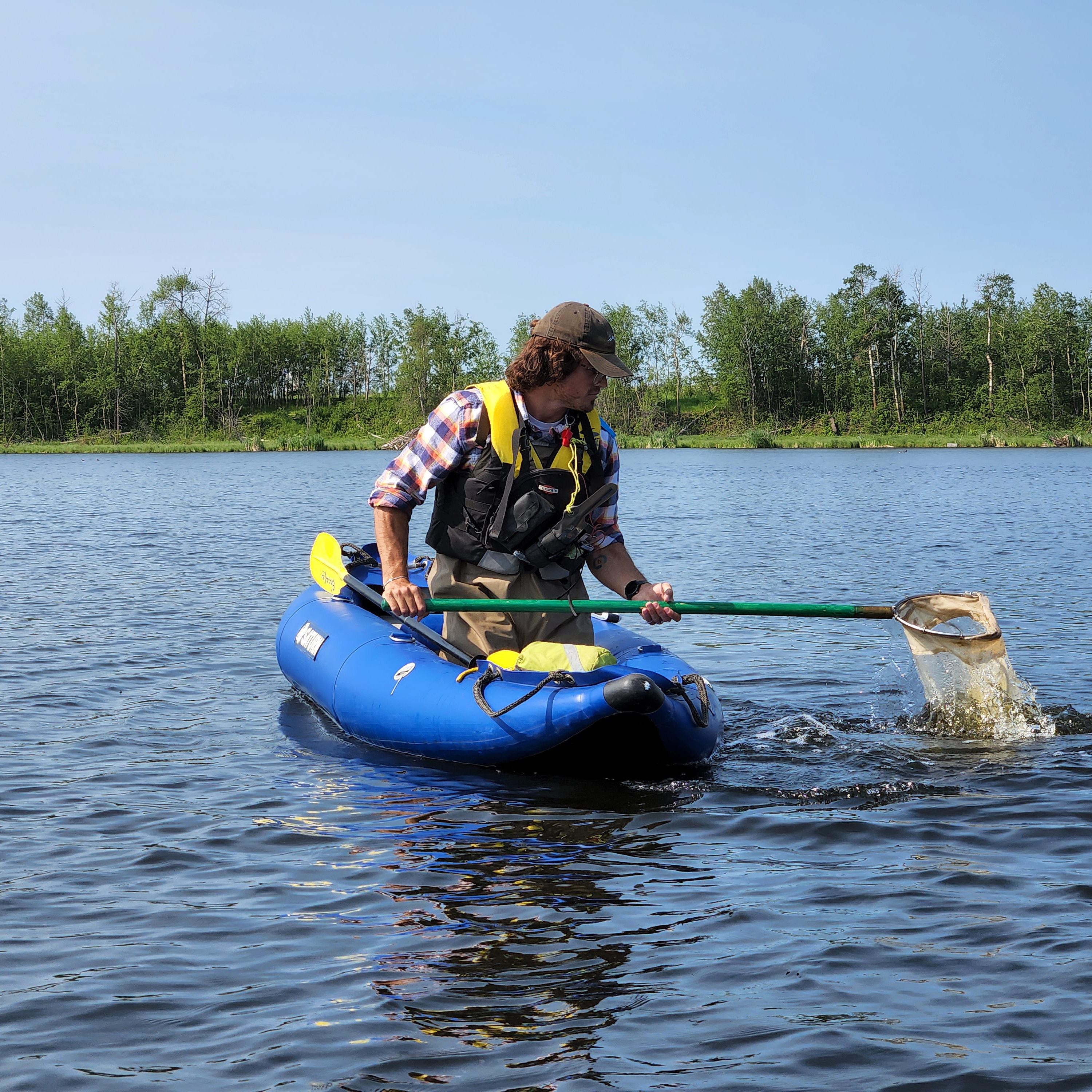
 Richard Bukowski
Introduction
- Three elements (hydrology, physicochemical environment including soil, and biota) are used to identify a wetland and describe the main components of wetland ecosystems.
- These interconnected components form a complicated web of two-sided relationships. For example, biota like Beavers and Sphagnum moss create conditions that suit themselves, thereby affecting the hydrology of the whole system.
- Environmental context (e.g., geology, climate) drives wetland hydrology and, therefore, the other components of wetlands (e.g., vegetation has a tolerance for wet conditions and only specific species will grow under different conditions).
- The range of the primary components of wetlands—hydrology, physicochemical environment, and biota—are grouped to define different wetland classes, types, and forms.
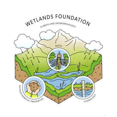
Wetland ecosystems are areas of periodic saturation or flooding, with wet-adapted biota and unique physicochemical components, which form from climate and surrounding geomorphology.
Types of Wetlands in Alberta
In Alberta, the wide variety of wetlands is described by the Alberta Wetland Classification System[2].
Wetlands are most broadly broken into classes. Each wetland class can be broken into wetland form, based on vegetation structure, and further into types, based on water permanence and chemistry. More information can be found in Ducks Unlimited Canada’s Alberta Wetland Classification System Field Guide[2].
There are five wetland classes in Alberta:

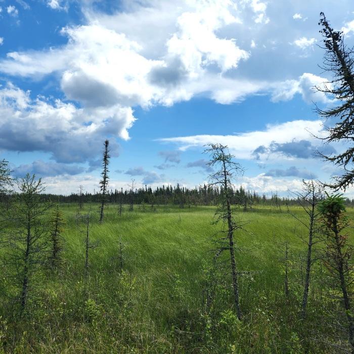
Bog
- Peatland (has organic soil or peat, partially decomposed plant material)
- Water source is primarily from precipitation (no groundwater); water levels are usually fairly stable and sit below the ground surface
- Can have treed, shrubby, or open vegetation structure
- Conditions are acidic and nutrient poor
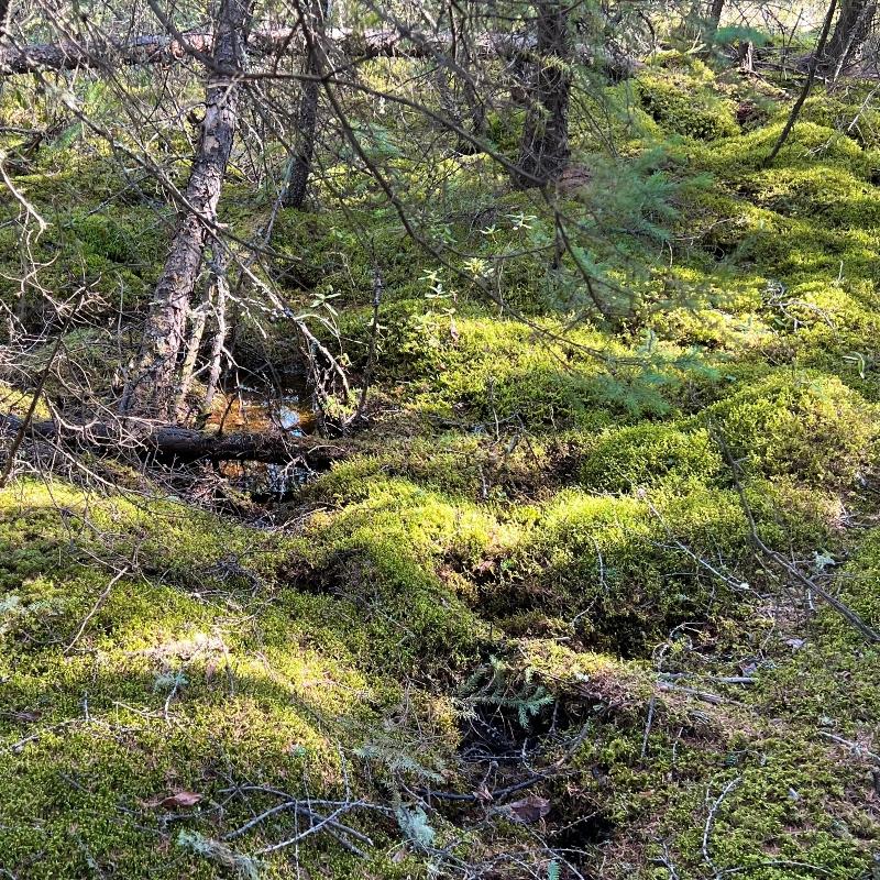
Fen
- Peatland (has organic soil or peat, partially decomposed plant material)
- Varied water sources (precipitation, groundwater, and/or surface water); water levels are usually consistently at the surface; water flows slowly
- Can have treed, shrubby, or graminoid vegetation structure
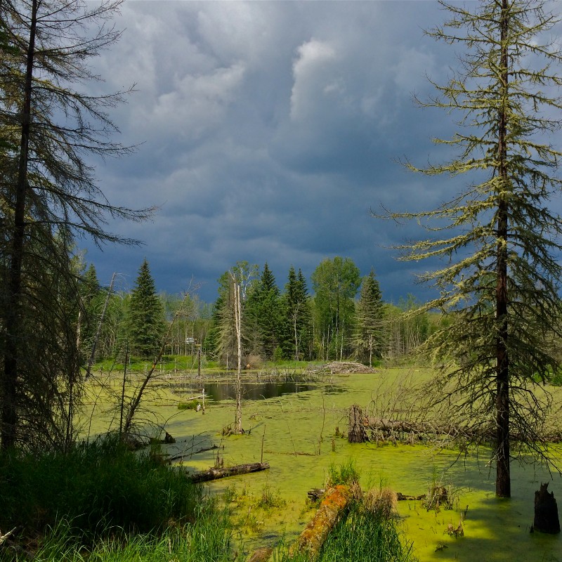
Swamp
- Swamps can be mineral wetlands or peatlands, but if they have organic soil, it is typically more decomposed than in fens or bogs
- Varied water sources (precipitation, groundwater, and/or surface water); water levels fluctuate near the surface
- Can have treed or shrubby vegetation structure
Marsh
- Mineral soils
- Varied water sources (precipitation, groundwater and/or surface water); fluctuating water levels
- Graminoid vegetation structure
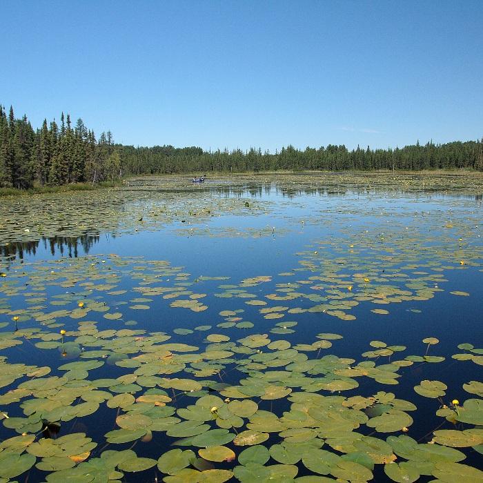
Shallow Open Water
- Mineral soils
- Varied water sources (precipitation, groundwater, and/or surface water); fluctuating water levels up to 2 m deep
- Submersed and/or floating aquatic vegetation structure
Wetland Ecosystem Services
Wetlands are transitional habitats that have characteristics of both upland and aquatic environments.
These conditions create diverse habitats that support a wide variety of flora and fauna, such as: aquatic invertebrates, amphibians, mosses, vascular plants and birds.
Wetland ecosystems provide a number of important benefits. For example:
- As the “kidneys of the landscape”, wetlands filter and improve water quality.
- They stabilize water supplies and reduce the negative effects of floods and droughts.
- Wetlands sequester and store atmospheric carbon.
- They provide essential habitat for a variety of wildlife and plant species.
- Wetlands also provide a range of recreational and educational opportunities, such as boating, bird watching and photography, and opportunities for aesthetic appreciation.
Impacts to Wetlands
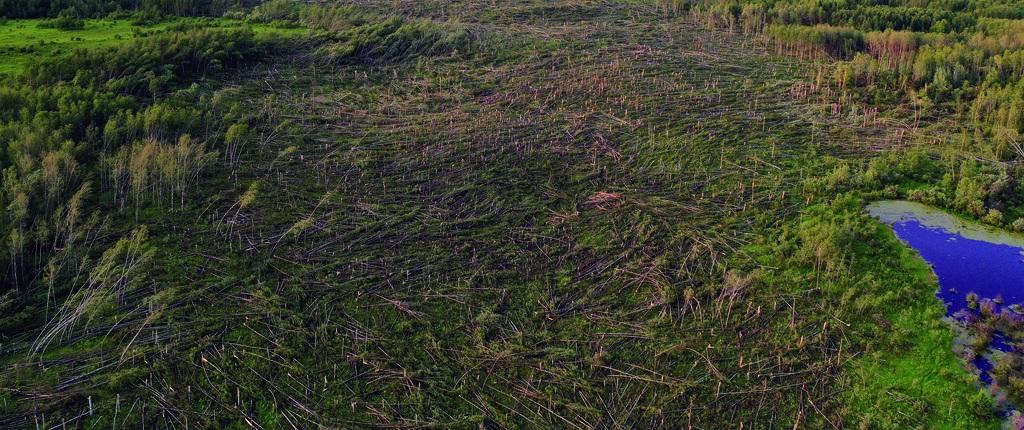
Hydrology is foundational to wetland ecological function. Therefore, wetland impacts can be direct, or can originate upstream within a wetland’s hydrological catchment (all the land that drains into the wetland). Impacts to wetlands can take many forms, such as:
- direct loss, which reduces landscape diversity, habitat, and connectivity between aquatic biota,
- hydrology disruptions (e.g., human footprint within a catchment or drainage can disrupt the normal flow of water to wetlands), and
- the introduction of nutrients, sediment, invasive species, or other contaminants (e.g., through runoff from surrounding areas), which can change wetland communities.
These impacts can affect the properties of the wetland itself, and the habitat that it provides. Therefore, wetland protection should have a watershed-scale approach.
For further information about the Alberta Biodiversity Monitoring Institute’s efforts to delineate catchments and better quantify impacts on wetlands, see Section 3.1.
Regulatory Information
- The Alberta Wetland Policy (2013)[1] indicates that permanent impacts to wetlands should be avoided or minimized and, where permanent impacts are unavoidable, wetlands should be replaced.
- The Government of Alberta developed tools and directives that help implement the Alberta Wetland Policy. For example, the Alberta Wetland Identification and Delineation Directive[3] explains how to collect evidence of the three factors discussed above (hydrology, physicochemical environment, and biota) to determine whether wetlands are present prior to development. If there are wetlands that may be impacted by development, regulatory approvals will need to be gained.
- The relevant legislation depends on the activity that is proposed, where the activity and wetlands are, and the kind of wetland.
- Potentially implicated legislation includes the Water Act, the Public Lands Act, and the Environmental Protection and Enhancement Act.
- More comprehensive information about implementing the Alberta Wetland Policy, including triggered regulation authorizations, is provided by the Government of Alberta on the Alberta Wetland Policy implementation webpage.
In this Report
In this report we summarize:
- the current distribution of wetlands in the forested, prairie, and mountain regions of Alberta, including wetland types and area covered, and wetlands of ecological significance, and a summary of regional patterns in water balance in Alberta's wetlands (Chapter 2),
- pressures on open water wetlands from various types of human development across Alberta (Section 3.1),
- a study on the influence of the ecological roles of wetland plants on the resistance of wetlands to invasion by terrestrial plant species (Section 3.2),
- a study on the effects of agriculture and climate change on prairie wetlands (Section 3.3)
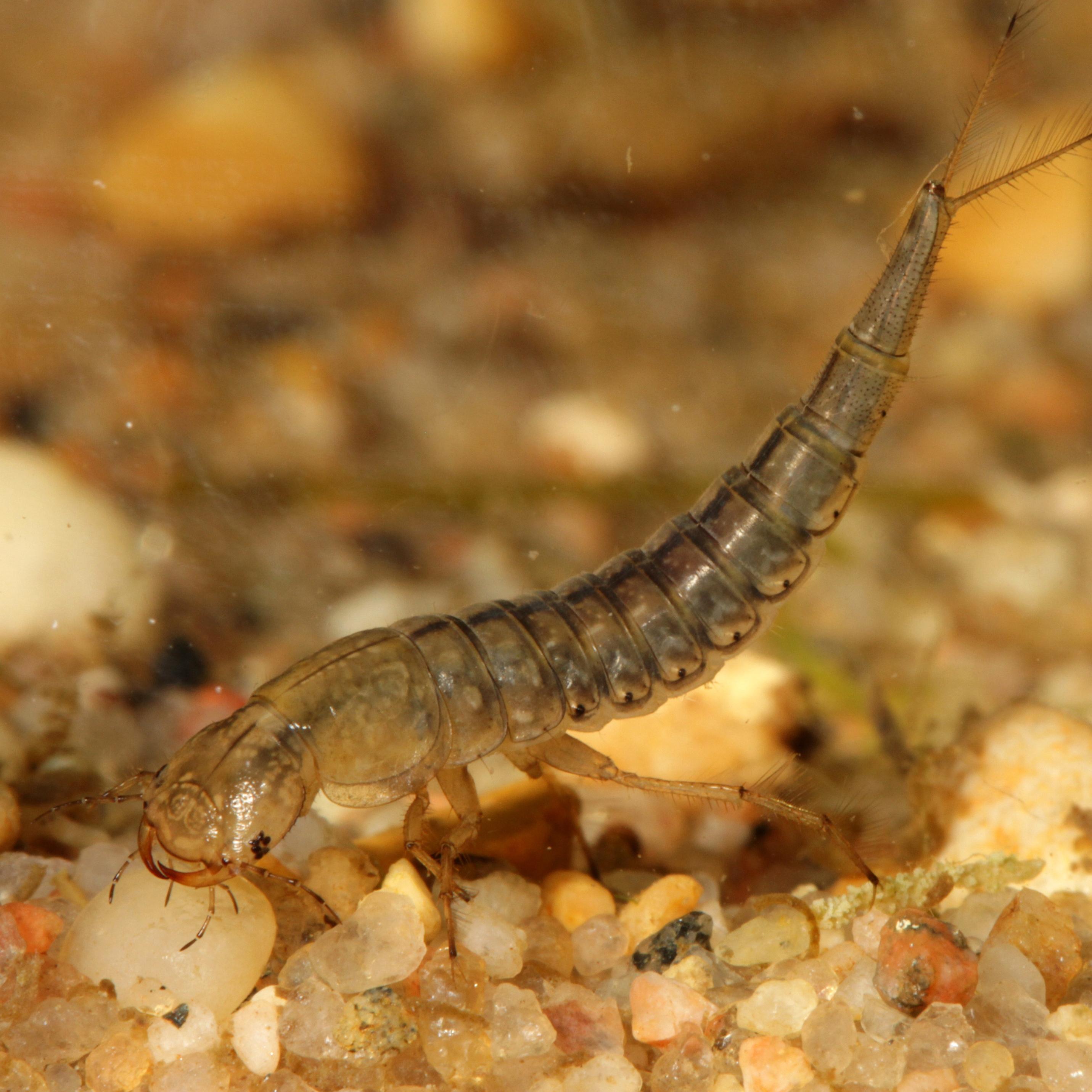
- the status of aquatic invertebrates in the six natural regions of Alberta (Section 4.1),
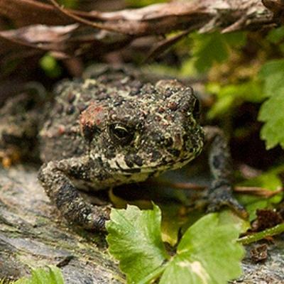
- occurrence information for the eight frog and toad species in Alberta, and model results (distribution, seasonality of breeding, habitat associations in the forested and prairie regions) for four of these species (Section 4.2),
- a pilot project evaluating the use of environmental DNA collection to detect amphibian species in wetlands (Section 4.3), and
- status of wetland-associated mosses in the forested region of Alberta (Section 4.4).
Find out about...
...human footprint around open water wetlands...
...regional aquatic invertebrate richness...
...status of amphibians and new amphibian monitoring methods.
References
Government of Alberta. 2013. Alberta Wetland Policy. Alberta Environment and Sustainable Resource Development. Available at: https://open.alberta.ca/publications/9781460112878
Ducks Unlimited Canada. 2021. Alberta Wetland Classification System Field Guide. Available at: https://www.ducks.ca/resources/industry/alberta-wetland-classification-guide/
Government of Alberta. 2015. Alberta Wetland Identification and Delineation Directive. Water Policy Branch, Alberta Environment and Parks. Edmonton, Alberta. Available at: https://open.alberta.ca/publications/9781460123638
Contributors

Dr. Jenet Dooley, Senior Wetland Ecologist, Alberta Biodiversity Monitoring Institute (ABMI)
Jenet has been working at the ABMI since February 2019. She leads varied wetland analysis and monitoring initiatives involving many wetland taxa, including amphibians.
If you have questions about the ABMI's wetland monitoring program, please get in touch: jenet.dooley@ualberta.ca
We are grateful for the support of the ABMI's delivery partners.

We would like to acknowledge the organizations and sponsors highlighted below who financially supported the development of this report.