Chapter 5.0
Conclusion

In this report we provide an assessment of the distribution of wetlands and their biodiversity in Alberta, based on the ABMI’s wetland inventory, monitoring and research datasets, and highlight research projects with partner organizations.
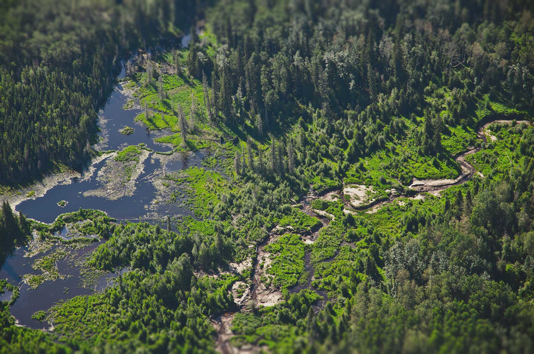
More than 20% of Alberta’s area is covered by wetlands. They are essential habitats for a wide variety of flora and fauna, and wetlands provide multiple ecosystem functions that benefit Albertans. The impacts of human footprint on wetlands are increasing; improved inventories, baseline information and continued monitoring are essential to support wetland management and protection.
Key Results
In this report we provide a current assessment of the distribution of wetlands and their biodiversity in Alberta, based on ABMI’s wetland inventory, monitoring and research datasets. Results of note include:
- Wetlands cover 21.7% of Alberta, but the area of wetlands varies by ecoregion: the forested region has the greatest coverage, at 28.6%, with much lower coverage in the prairie region (6.9%) and mountain region (3.2%).
- Human footprint (circa 2021) in wetland catchments was highest in the Parkland (71.1%), Grassland (54.0%), and Foothills (20.2%) natural regions; human footprint covered less than 20% of catchment area in the remaining four natural regions.
- Agriculture human footprint was the most common type in the Boreal Forest, Grassland and Parkland natural regions, while forestry human footprint was the most common type in the Foothills and Rocky Mountain natural regions.
- A study provided baseline information about basic water flow through open water wetlands in Alberta, allowing for comparisons between geographic areas in the present and, following planned future resampling, comparisons over time.
- The specific combination of functional traits present in the plant community of a wetland, along with the degree of disturbance surrounding the wetland, affected its ability to resist invasion by terrestrial invasive plant species.
- A study has been initiated that uses aquatic macroinvertebrates and waterfowl productivity as indicators of the cumulative impacts of agriculture and climate change on prairie wetland health. The ultimate goal is to develop best management practices to support agriculture sustainability while maintaining wetland ecosystem function.
- For the first time, aquatic invertebrate results were presented on regional patterns of abundance, richness and diversity. Regional abundance is highest in the more productive Grassland and Parkland natural regions, but taxonomic richness is highest in the Canadian Shield and Boreal Forest natural regions, which have a diverse array of habitats.
- Enough data have been collected to present model results—including distribution, seasonality of breeding calls, and habitat associations—for four amphibian species. Occurrence information was presented for four uncommon frog and toad species.
- Amphibian eDNA collection and analysis was found to be a valuable tool for monitoring species that are difficult to detect by methods such as surveys or acoustic recording, such as the Tiger Salamander.
- Intactess for wetland-associated moss species in the forested region was lower for generalist moss species compared to species associated with bogs and fens, reflecting larger impacts of human footprint in upland habitat types.
Next Steps
The information and research presented in this atlas continue to evolve. As wetland mapping and monitoring efforts are ongoing, key next steps include:
- Mapped wetland areas—i.e., wetland inventory data—are key pieces of information required to support the management of wetlands in Alberta. The ABMI continues to improve its wetland inventory product.
- Quantifying and summarizing the amount and type of human footprint surrounding ABMI’s wetland sites is an important indicator of wetland impacts across the province. The ABMI will continue to monitor changes to these summaries over time.
- The ABMI also continues to refine its wetland catchment delineation methods, which is expected to improve the wetland species–habitat models.
- Future wetland vascular plants and aquatic invertebrate models will detail relationships between these taxonomic groups and the conditions of the wetlands (e.g., water quality), and human footprint and habitat within the wetland catchment.
- The ABMI and InnoTech Alberta are continuing to work to improve eDNA sampling methodologies for amphibians, and are exploring DNA monitoring methods for macroinvertebrates and vascular plants.
- The ABMI, InnoTech Alberta, and Ducks Unlimited Canada are engaged in ongoing research to better understand linkages between wetland health and waterfowl breeding success in the face of agricultural land use and climate change.


This report is a living document—existing sections will be updated with the latest results, and new sections will be added as information becomes available. This first edition of the Wetland Atlas represents the state of our knowledge to date, with future editions to reflect stakeholder feedback and new reporting indicators as they are developed. We envision that this atlas will bring wetland data together from various data providers, and we will work toward this goal in future versions.
We are grateful for the support of the ABMI's delivery partners.

We would like to acknowledge the organizations and sponsors highlighted below who financially supported the development of this report.