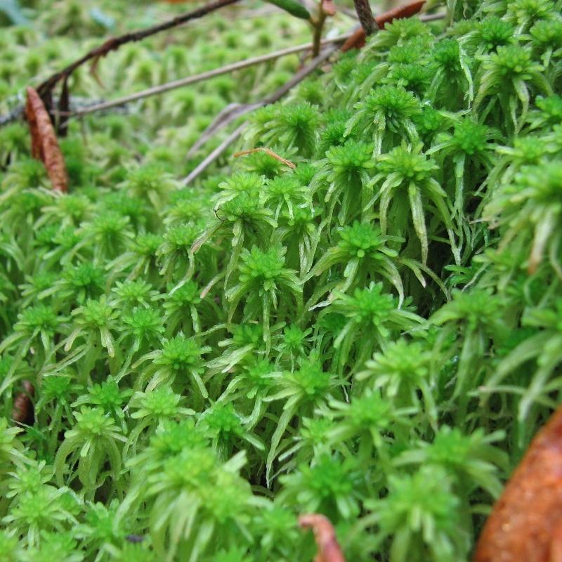
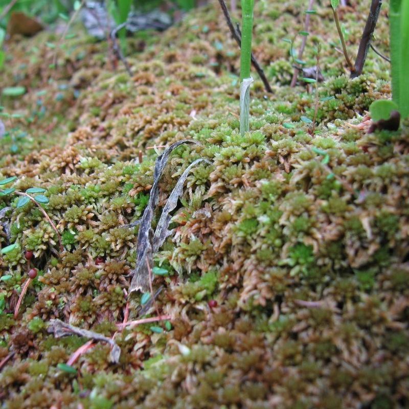
Brown Peatmoss
Sphagnum fuscum
Brown Peatmoss is typically the dominant vegetation cover in bogs.
Section 4.4
Summary of the effects of human disturbance on moss species associated with wetlands in the boreal forest as measured by the Biodiversity Intactness Index.


The average intactness of wetland-associated mosses in the forested region was 94%. Intactness by wetland category was:
Bogs & Poor Fens
98%
intact
Rich Fens

96%
intact
Swamps & Marshes
92%
intact
Generalists
.jpg)
90%
intact
This section was updated in January 2025 to reflect additional moss data, updated species models, and new human footprint results. The number of moss species reported on increased from 45 to 56. Overall, habitat suitability for most wetland-associated moss species remained largely unchanged.
Mosses—technically classified as bryophytes, a group that includes mosses, liverworts, and hornworts—are among the most important indicators used to classify certain wetland types, playing a key role in defining their ecological characteristics, functions, and overall condition[1,2].
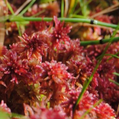
Warnstorf’s Peat Moss (Sphagnum warnstorfii)
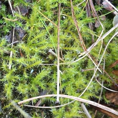
Marsh Leafy Moss (Plagiomnium ellipticum)
In this section, we report on the status of wetland-associated moss species classified into four wetland types (bogs & nutrient-poor fens, rich fens, swamps & marshes, generalists) in the forested region of Alberta, using the Biodiversity Intactness Index. These results have been updated incorporating more data, updated species models, and human footprint as of 2021.
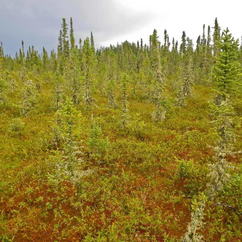
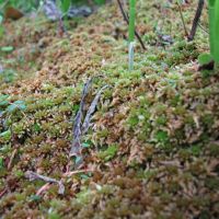
Mosses are keystone species of peatland ecosystems.
 R Caners
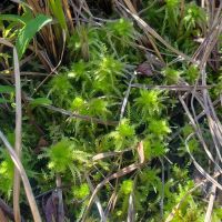
Sphagnum fuscum
Brown Peatmoss is typically the dominant vegetation cover in bogs.
Sphagnum capillifolium
Northern Peatmoss forms dense carpets in nutrient-poor, acidic fens.
Campylium stellatum
Brown mosses, like the Yellow Starry Fen Moss, are key indicators of nutrient-rich fens.
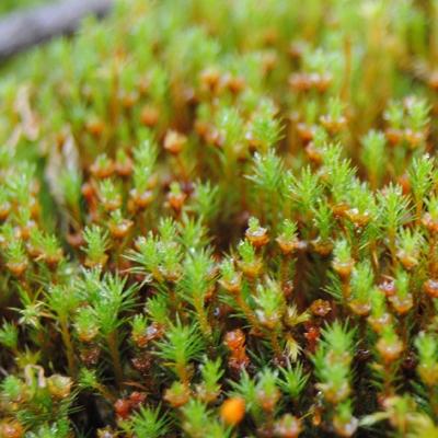
Polytrichum strictum
Bog Haircap Moss is common across the forested region, and is strongly associated with shrubby bogs and treed fens.
The ABMI collects data on moss species and builds statistical models to identify how the relative abundance of species varies in relation to native land cover, human footprints, and spatial/climate variables. Wetland-associated species are identified based on expert review of the literature. For species with sufficient data (collected between 2003 and 2019), we determine cumulative effects of human footprint on species by comparing predictions under current landscape conditions (HFI 2021[6]) to predictions in reference landscapes where all human footprints have been removed (backfilled). We convert the difference in relative abundance between predicted current and reference abundances to a scaled Biodiversity Intactness Index.
Here we calculate intactness for moss species associated with four wetland categories, including bog/poor fens, rich fens, swamps/marshes, and generalists. These groups were defined by their ecological affinity (primarily water and nutrient levels) for these different wetland types. Mosses were classified into these four groups using a two-step process:
Habitat associations for some moss species may change as more data are collected, potentially leading to adjustments in species models. Additionally, some commonly found wetland species may be absent from the results due to insufficient detections by the ABMI for modeling purposes; however, this may change as more data become available.
For field sampling protocols see ABMI 2015[7], for lab processing protocols see ABMI 2010[8], and for analysis methods see ABMI 2017[9] and Sólymos et al. 2019[10].
 Krista Williams
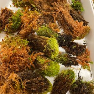
Collection of moss samples to be identified in the lab.
Status of Mosses Associated with Wetlands
The status of 56 wetland-associated moss species in the forested region as measured by the Biodiversity Intactness Index:
Intactness of the four moss groups averaged:
Bogs & Poor Fens
98%
Intact
Rich Fens
96%
Intact
Swamps & Marshes
92%
Intact
Generalists
90%
Intact
Highlights
Summary of Results Update
Intactness for moss species associated with wetlands. This graph shows the predicted deviation in species abundance from intact reference conditions (100%) for moss species associated with four wetland types: bogs/poor fens, rich fens, swamps/marshes, and generalists. Solid line indicates no change in habitat suitability between the current landscape with human footprint and the modelled reference landscape without human footprint. Both positive (predicted increases) and negative (predicted decreases) deviations from reference result in lower intactness. Each dot represents an individual species; hover over a dot to view individual species intactness values.
Status of wetland-associated mosses in the forested region. The status of moss species associated with wetlands in Alberta's forested region is assessed using the Biodiversity Intactness Index. Moss species are classified into four wetland categories: bog/poor fens, rich fens, swamps/marshes, and generalists. Three species—Blunt Pincerwort (Cephalozia pleniceps), Polygamous Hook Moss (Drepanocladus polygamus), and Common Green Bryum Moss (Ptychostomum pseudotriquetrum)—are associated with two wetland types and are therefore included in both categories. Species are ranked from lowest to highest intactness, and the Habitat Suitability column indicates whether habitat suitability has increased or decreased due to human footprint. Click on a species to view its profile for Alberta in the ABMI's Biodiversity Browser.
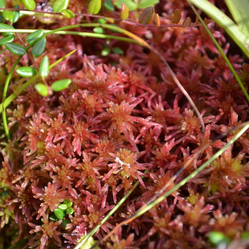
R Caners
Rusty Peat Moss (Sphagnum fuscum) is very common in bogs in the boreal forest.
Vitt, D.H. 2014. A key and review of bryophytes common in North American peatlands. Evansia 31(4):121-158.
Vitt, D.H. and M. House. 2021. Bryophytes as key indicators of ecosystem function and structure of northern peatlands. Bryophyte Diversity and Evolution 043 (1):253–264. Available at: https://doi.org/10.11646/bde.43.1.18
Wieder R.K., D.H. Vitt, and B. Benscoter. 2006. Peatlands and the boreal forest. Pp. 1-8 in: Wieder, R.K. and D.H. Vitt (eds.). Boreal Peatland Ecosystems. Springer-Verlag, Berlin-Heidelburg-New York. Available at: https://doi.org/10.1007/978-3-540-31913-9_1
Zoltai, S.C. and D.H. Vitt. 1995. Canadian wetlands: environmental gradients and classification. Vegetation 118:131-137.
Turetsky, M.R. 2003. The role of bryophytes in carbon and nitrogen cycling. The Bryologist 106(3):395-409.
Alberta Biodiversity Monitoring Institute. 2023. Wall-to-wall human footprint inventory—year 2021. Dataset. Last modified August 16, 2023. Available at: https://abmi.ca/data-portal/46
Alberta Biodiversity Monitoring Institute. 2021. Terrestrial field data collection protocols (abridged version). Available at: https://abmi.ca/publication/601
Alberta Biodiversity Monitoring Institute. 2010. Laboratory protocols for processing bryophytes. Available at: https://abmi.ca/publication/330
Alberta Biodiversity Monitoring Institute. 2017. ABMI species website manual, version: 2017-10-06. Available at: https://abmi.ca/publication/505
Sólymos, P., E.T. Azeria, D.J. Huggard, M-C. Roy, and J. Schieck. 2019. Chapter 4. Predicting species status and relationships. In ABMI 10-year science and program review. Available at: https://abmi10years.ca/10-year-review/resources/

Krista Williams, Lead Scientist, Bryophytes, Alberta Biodiversity Monitoring Institute (ABMI)
Krista has been exploring the world of bryophytes since 2007, and with the ABMI since 2014. She can usually be found scouring the woods for bryophytes or with eyes glued to a microscope assigning names to these miniature plants.
If you have questions about the ABMI's bryophyte monitoring program, please get in touch: krista.williams@ualberta.ca