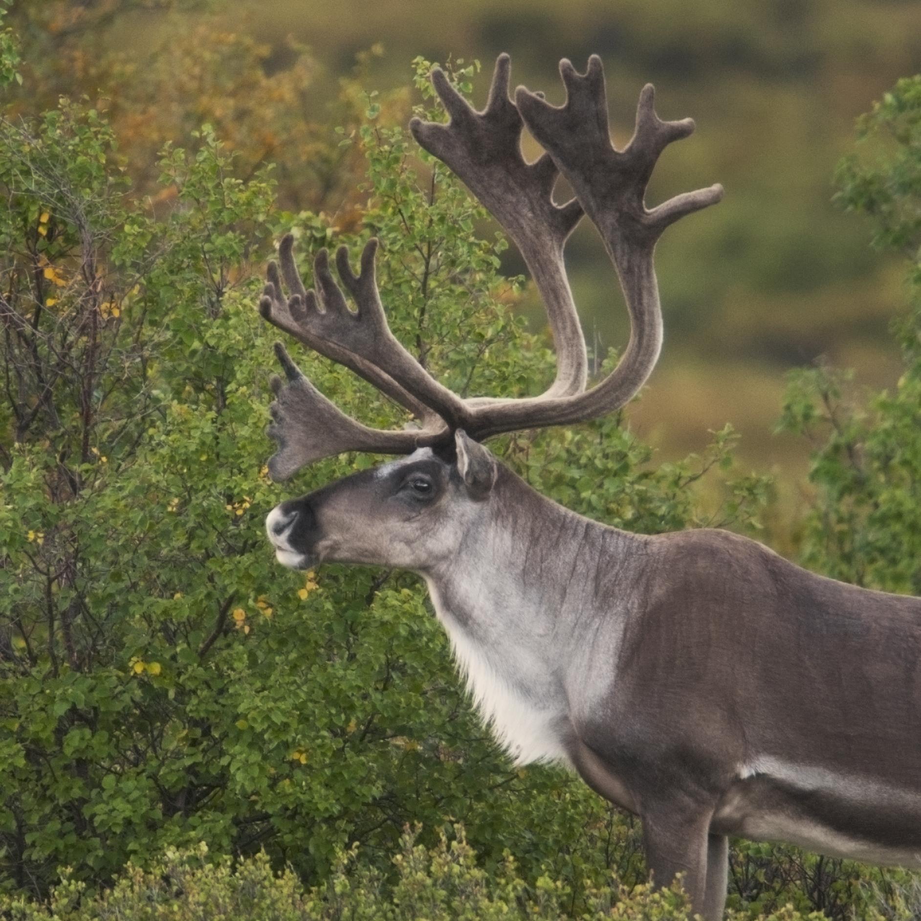
Woodland Caribou
Rangifer tarandus
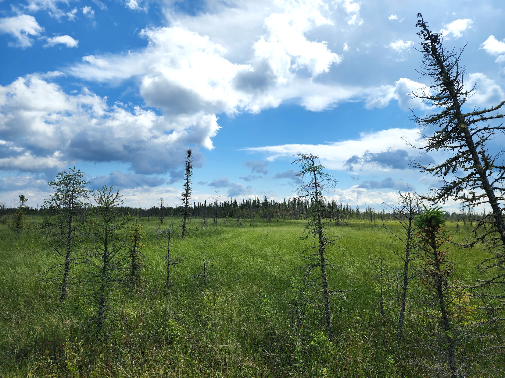
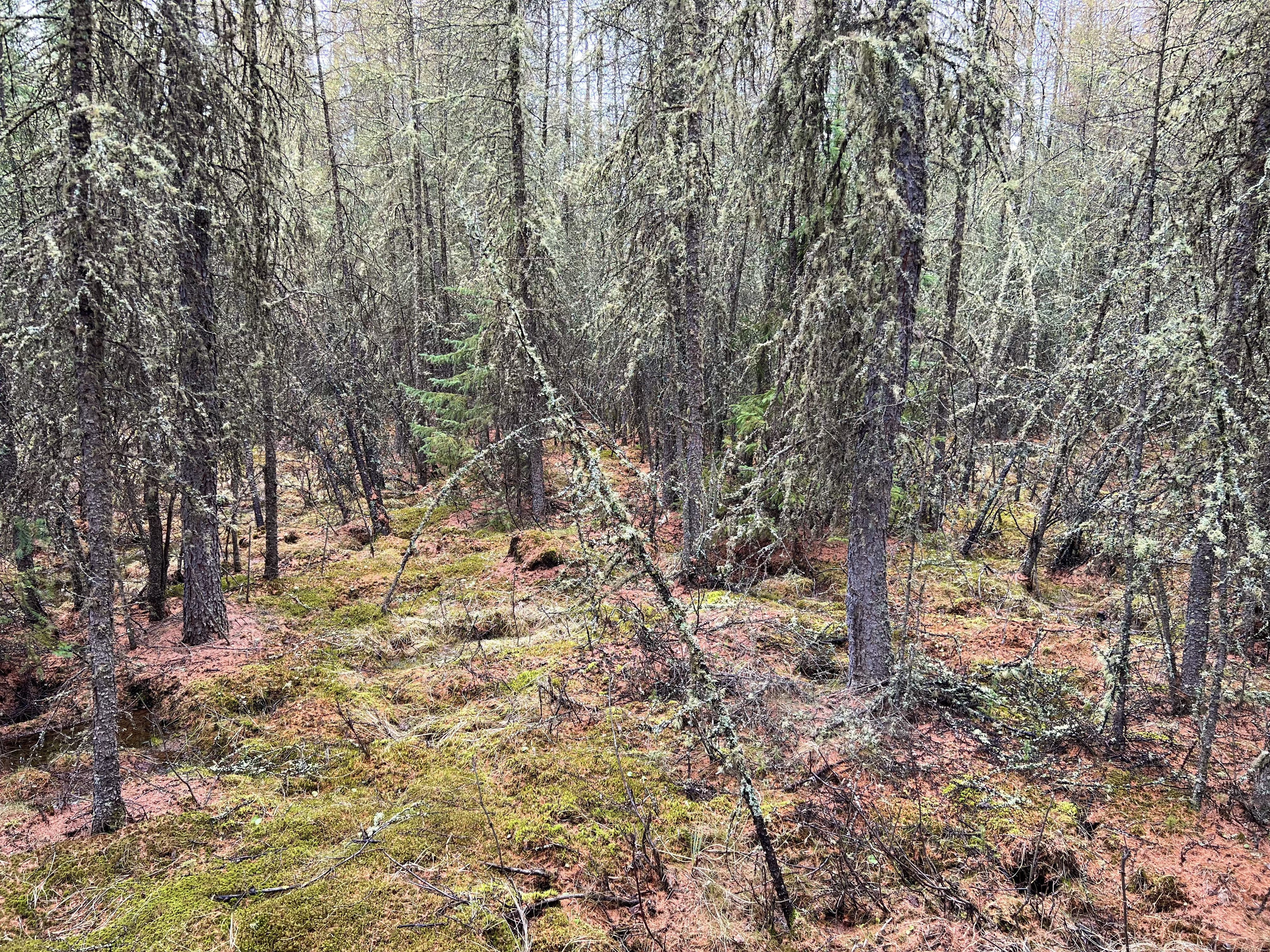
Woodland Caribou depend on treed fens and bogs, where they forage on lichen—their primary food source—during the winter.
Section 2.2
Summary of the area of wetlands in the forested region by wetland class with a description of the most common classes.


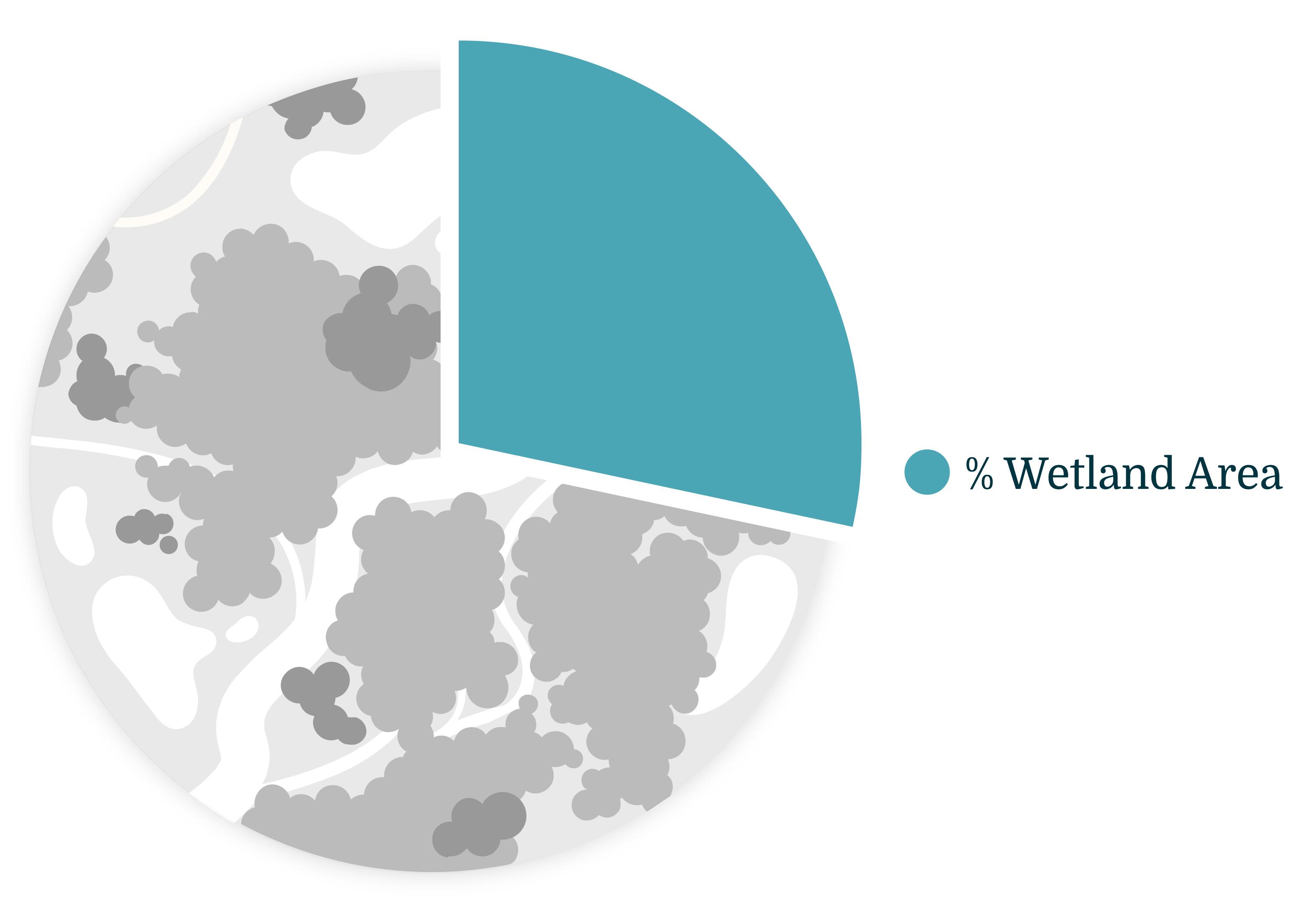
Total area of wetlands in the forested region: 28.6%
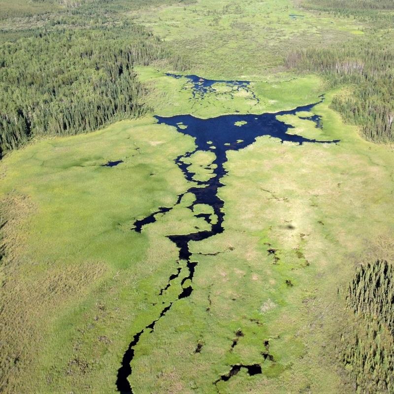
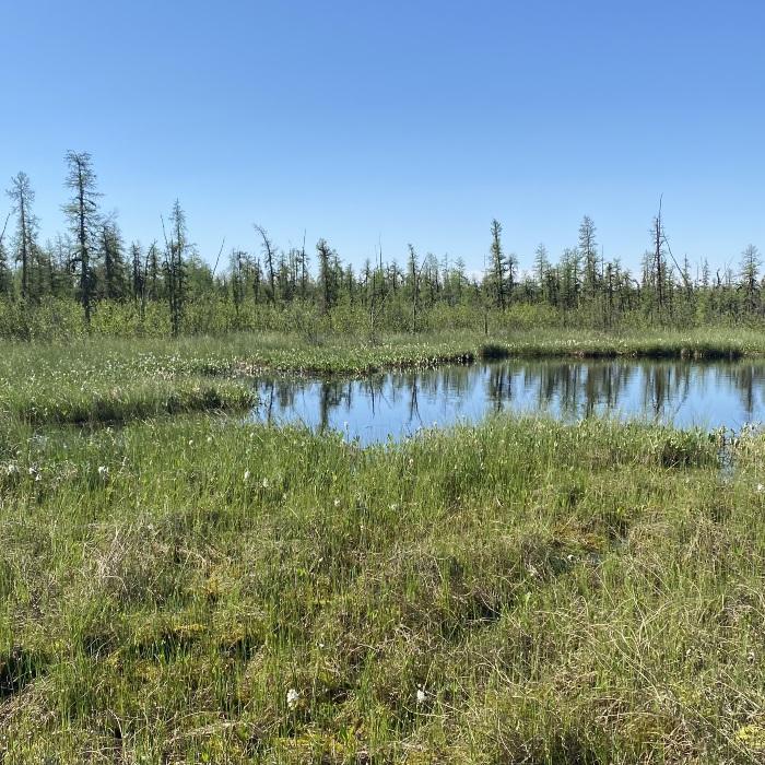
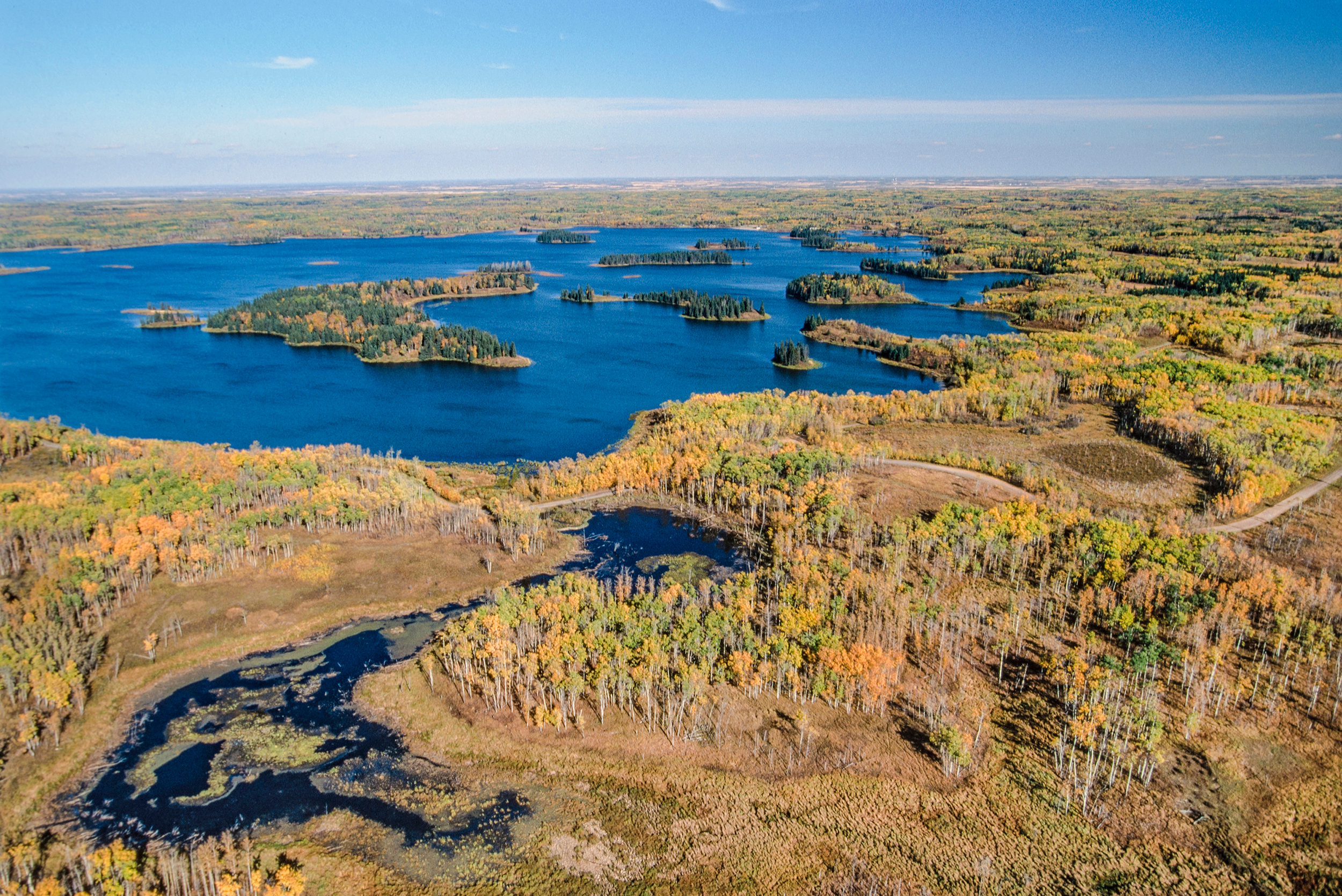
In this section, we summarize wetland class and percent area covering the forested region in Alberta. We also highlight key wetland characteristics and species associated with the most common wetland classes.
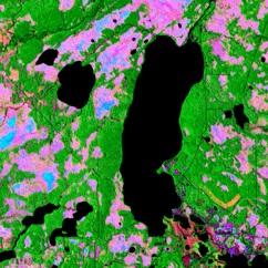
The computer "learned" the characteristics of different wetland types—such as topographic position and vegetation properties—to identify wetland locations.
Area of Wetlands in the Forested Region
Current wetland area in the forested region: 28.6%
Distribution of wetlands in the forested region of Alberta. Click on the legend to turn wetland types on and off. Note: wetlands cover less area than what is displayed in the map.
Click on a tab for a description of the most common wetlands in the forested region. For more detailed descriptions of each wetland class, refer to the Boreal Wetlands Fact Sheets[1] and the Alberta Wetland Classification System Field Guide[3].
 Nancy S
Rangifer tarandus
Woodland Caribou depend on treed fens and bogs, where they forage on lichen—their primary food source—during the winter.
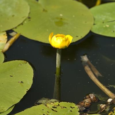
Nuphar lutea
Yellow Water Lily is common in shallow waterbodies in the boreal region, where it can provide food and shelter for many species. An excess of nutrients in the waterbody can lead to overgrowth of Yellow Water Lily, which causes oxygen depletion in the water.
 Rob Hinchliffe
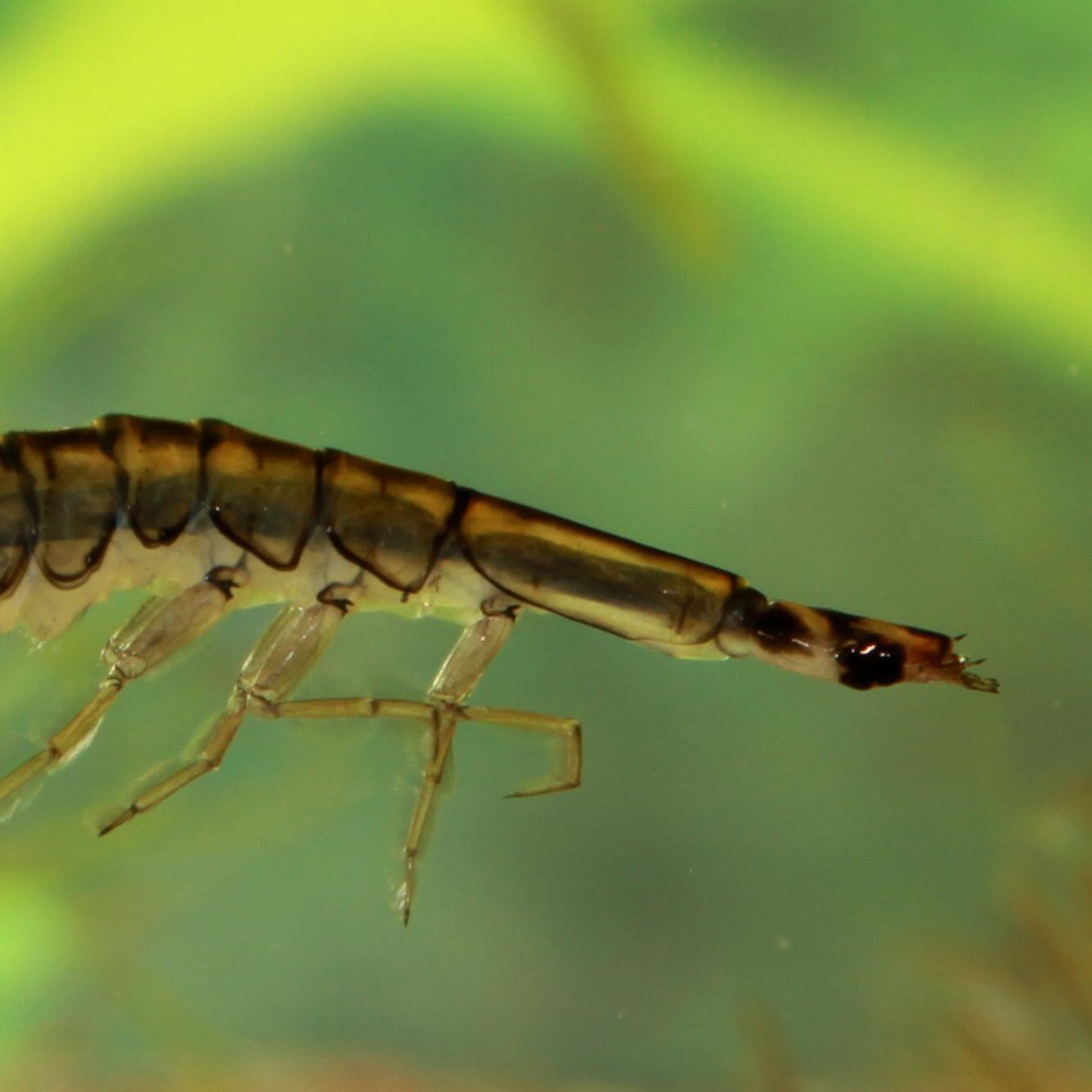
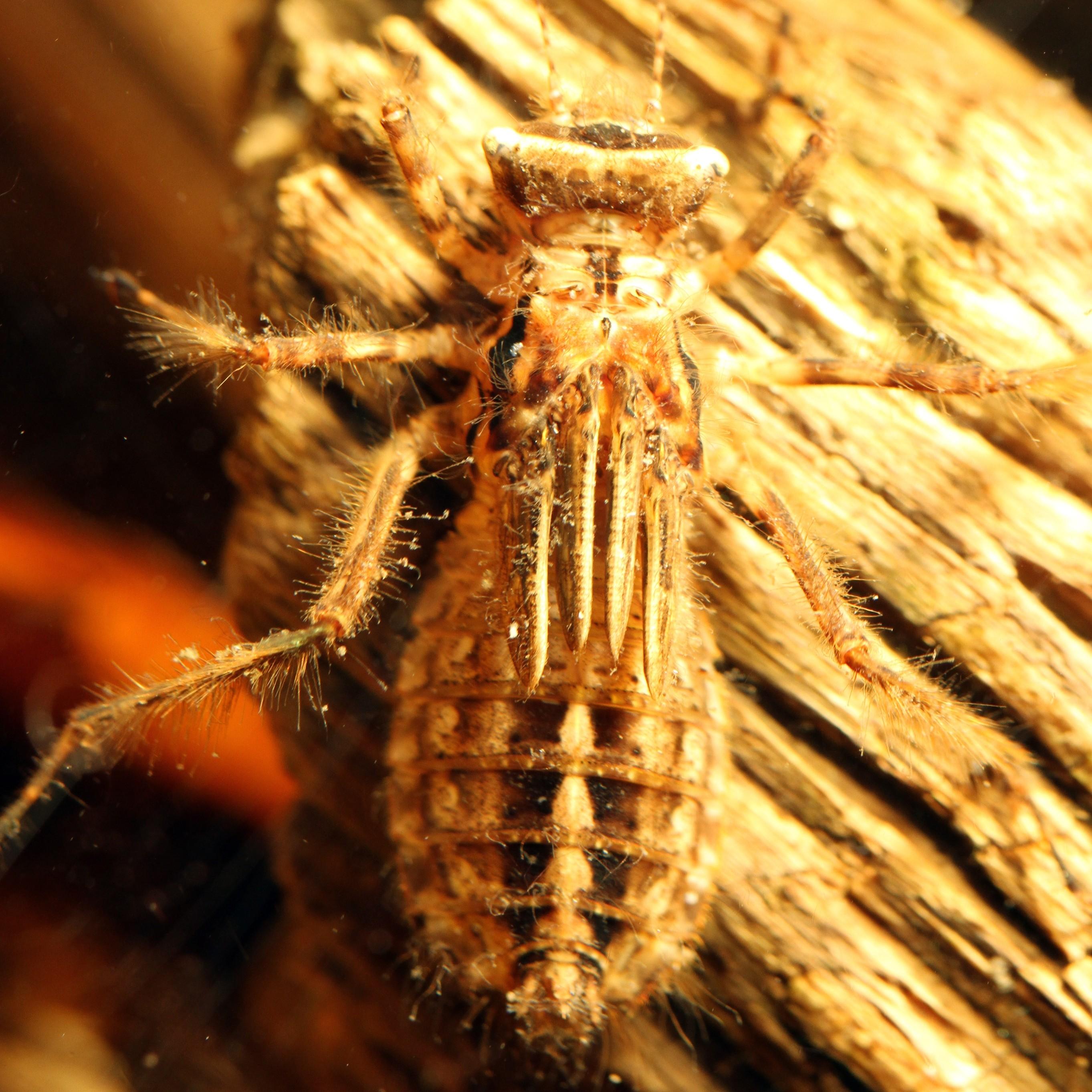
Graphoderus liberus
Aquatic diving beetles are some of the largest beetles found in Alberta. Graphoderus larvae are strong swimmers and very active predators that will pounce on anything they can safely subdue.
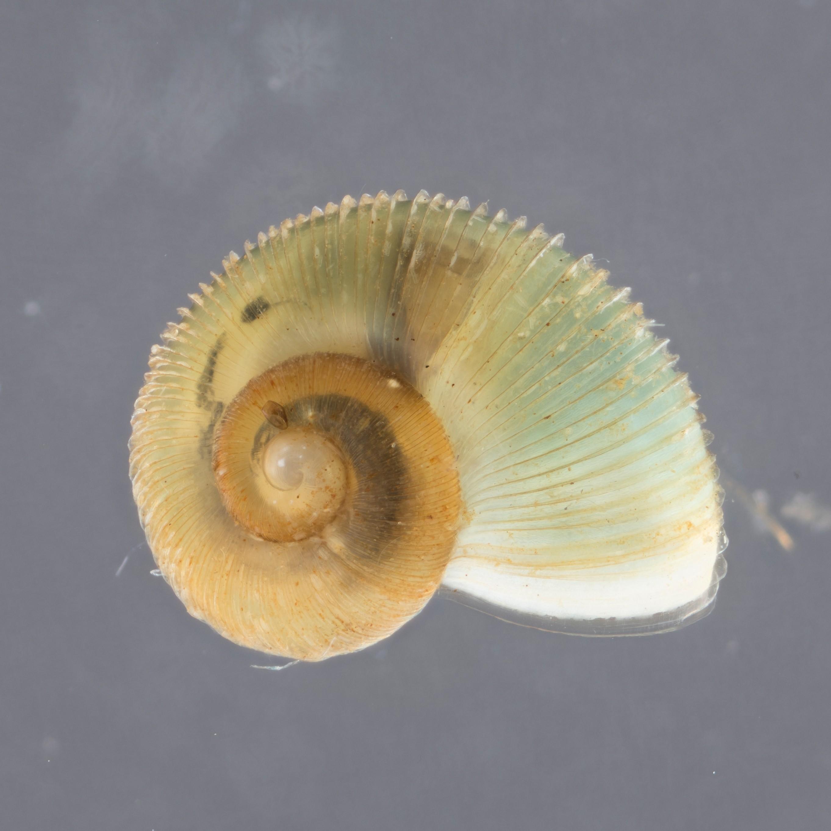
Valvata lewisi
These tiny aquatic snails are very common in boreal wetlands but are rarely seen, mostly because Fringed Valvata snails measure less than 5 mm across and spend much of their time burrowing in the mud, where they feed on bits of decaying organic debris.
 Rob Hinchliffe
Cordulia shurtleffii
Commonly found in many boreal wetlands, the drab-looking nymphs of Cordulia shurtleffii blend in well with their environment, lying in wait for unsuspecting prey. The metallic-green eyes of the adult earned the species the common name of American Emerald.
Ducks Unlimited Canada. Boreal wetlands fact sheets. Available at: https://www.ducks.ca/resources/industry/boreal-wetland-fact-sheets/
Ducks Unlimited Canada. 2017. Boreal wetlands and climate change. Available at: https://abnawmp.ca/wp-content/uploads/2020/09/Boreal-Science-Summary-Final_web.pdf
Ducks Unlimited Canada. 2021. Alberta wetland classification system field guide. Available at: https://www.ducks.ca/resources/industry/alberta-wetland-classification-guide/
DeLancey, E.R., J.F. Simms, M. Mahdianpari, B. Brisco, C.Mahoney, and J. Kariyeva. 2020. Comparing deep learning and shallow learning for large-scale wetland classification in Alberta, Canada. Remote Sensing 12(1): 2. Available at: https://doi.org/10.3390/rs12010002
ABMI Geospatial Centre. 2021. ABMI wetland inventory: technical documentation. Report available at: https://abmi.ca/home/data-analytics/da-top/da-product-overview/Advanced-Landcover-Prediction-and-Habitat-Assessment--ALPHA--Products/ABMI-Wetland-Inventory.html
ABMI. 2017. 3 x 7-km Sample-based human footprint data. Available at: https://abmi.ca/home/data-analytics/da-top/da-product-overview/Human-Footprint-Products/Human-Footprint-Sample-Based-Inventory.htm
ABMI. 2018. Wall-to-wall human footprint inventory. Available at: https://abmi.ca/home/data-analytics/da-top/da-product-overview/Human-Footprint-Products/HF-inventory.htm

Jennifer Hird, Lead Scientist—Earth Observation Insights Unit, Alberta Biodiversity Monitoring Institute (ABMI)
Jen has supported geospatial research and development within the ABMI for over 10 years. In her current role, she leads the organization's satellite-based mapping and monitoring efforts.
If you have questions about the ABMI's wetland mapping program, please get in touch: jennifer.hird@ualberta.ca